
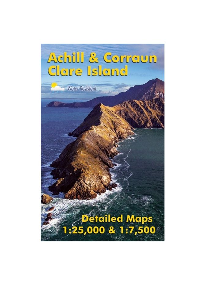
Achill & Corraun ~ Clare Island
€14.99
SKU
EAWCC
Definitive detailed map of Achill & Corraun at 1:25,000 scale combined with a very detailed map of Clare Island at 1:7,500 scale.
Covers Achill Island and the Corraun peninsula, overlapping with our Wild Nephin map at Mulranny. Depicts this popular region in very considerable detail for the benefit of both visitor and local alike. We have conducted considerable research into local placenames and many names are recorded on a map here for the first time. Printed on good quality EnDuro 100 gsm paper. Water resistant and tear resistant,
Achill & Corraun 1:25,000 Scale : 1 centimetre on the map = 250 metres on the ground. Contour Interval : 10 metres.
Clare Island 1:7,500 Scale : 1 centimetre on the map = 75 metres on the ground. Contour Interval : 5 metres.
Published August 2016.
| Weight | 1.000000 |
|---|
Write Your Own Review
Recently Viewed