
Knockealdown 1:25,000
€12.90
SKU
815470
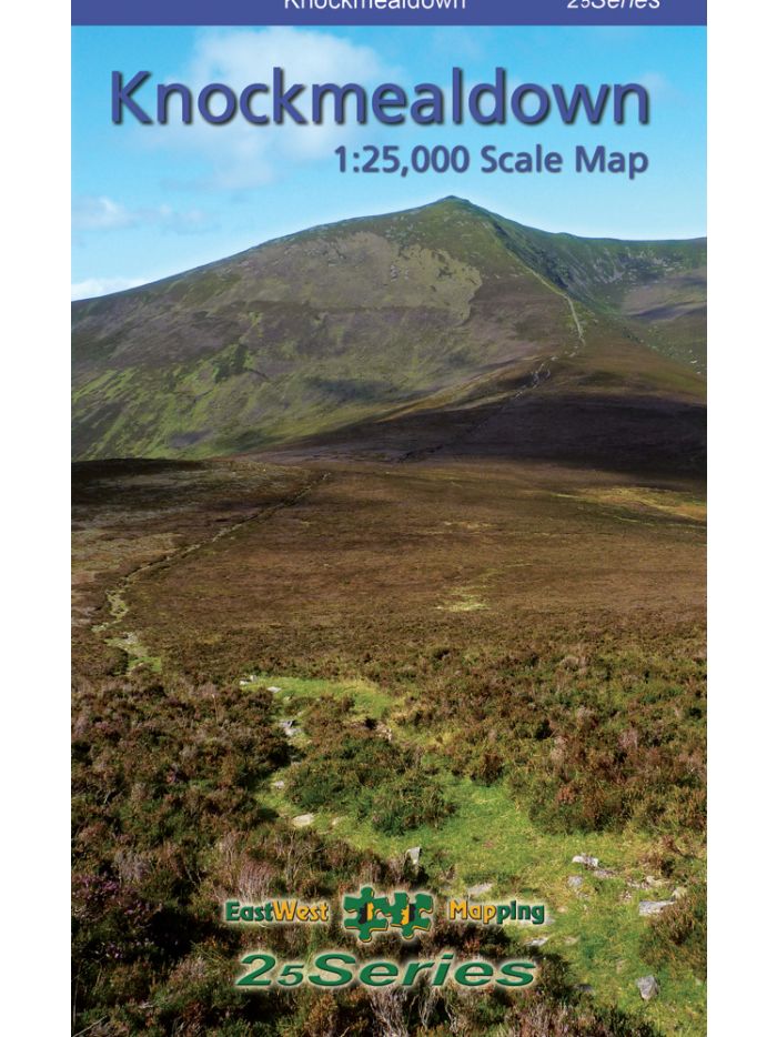
Definitive detailed map at 1:25,000 scale covering from Nire Valley to Ballyporeen and from Lismore to Ardfinnan. Covers the Knockmealdown Mountains and hinterland. Produced to our 25Series standard, this general topographic map has a 5 metre contour interval for fine navigation. Signposted walking trails and greenways are depicted. We have conducted considerable research into local sites & placenames and much information is recorded on a map here for the first time. Printed on good quality Progeo 90gsm map paper. The map sheet measures 1125mm x 820mm, covering 550 sq kilometres and is folded down to 125mm x 205mm.
Definitive detailed map at 1:25,000 scale covering from Nire Valley to Ballyporeen and from Lismore to Ardfinnan. Covers the Knockmealdown Mountains and hinterland. Produced to our 25Series standard, this general topographic map has a 5 metre contour interval for fine navigation. Signposted walking trails and greenways are depicted. We have conducted considerable research into local sites & placenames and much information is recorded on a map here for the first time. Printed on good quality Progeo 90gsm map paper. The map sheet measures 1125mm x 820mm, covering 550 sq kilometres and is folded down to 125mm x 205mm.
| Weight | 1.000000 |
|---|
Write Your Own Review
Recently Viewed