
Dublin & North Wicklow Mountains Map
€12.50
SKU
DUBWICK
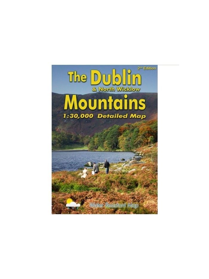
Definitive detailed map of the hills on the doorstep of Dublin City. Surveyed in 2008, updated 2012/13. Depicts in detail the network of tracks, paths, forests & hills of interest to walkers etc. Many historical sites are plotted and named. Eastwest Mapping has conducted considerable research into local placenames and many names are recorded here.
Covers from Blessington to Enniskerry and Tallaght to Sally Gap. For recreational users who visit the Dublin Mountains for hillwalking, rambling, family walks, cycling, birdwatching, heritage and local history explorations.
Features:
Printed on high quality Enduro 100 gsm paper.
Water resistant and tear resistant
1:30,000 Scale : 1 centimetre on the map = 300 metres on the ground.
Contour Interval : 10 metres
| Weight | 1.000000 |
|---|
Write Your Own Review
Recently Viewed