
Dingle West 1:25,000
€14.95
SKU
DWP01
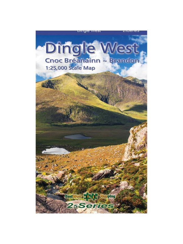
Dingle West 1:25,000 Map
Definitive detailed map at 1:25,000 scale covering the western end of the Dingle peninsula – from Dunquin to the Conor Pass and including Mount Brandon. Produced to our 25Series standard, this general topographic map has a 5 metre contour interval for fine navigation. Signposted walking trails are depicted. Detailed topographic map with many placenames and heritage sites. Printed on good quality Progeo 90gsm map paper. The map sheet measures 1125mm x 820mm, covering 550 sq kilometres and is folded down to 125mm x 205mm. Read care instructions in FAQ. Click on thumbnail images above to view sample detail and map coverage. Note that the tip of Slea Head is not shown. Published 2023.
Write Your Own Review
Recently Viewed