
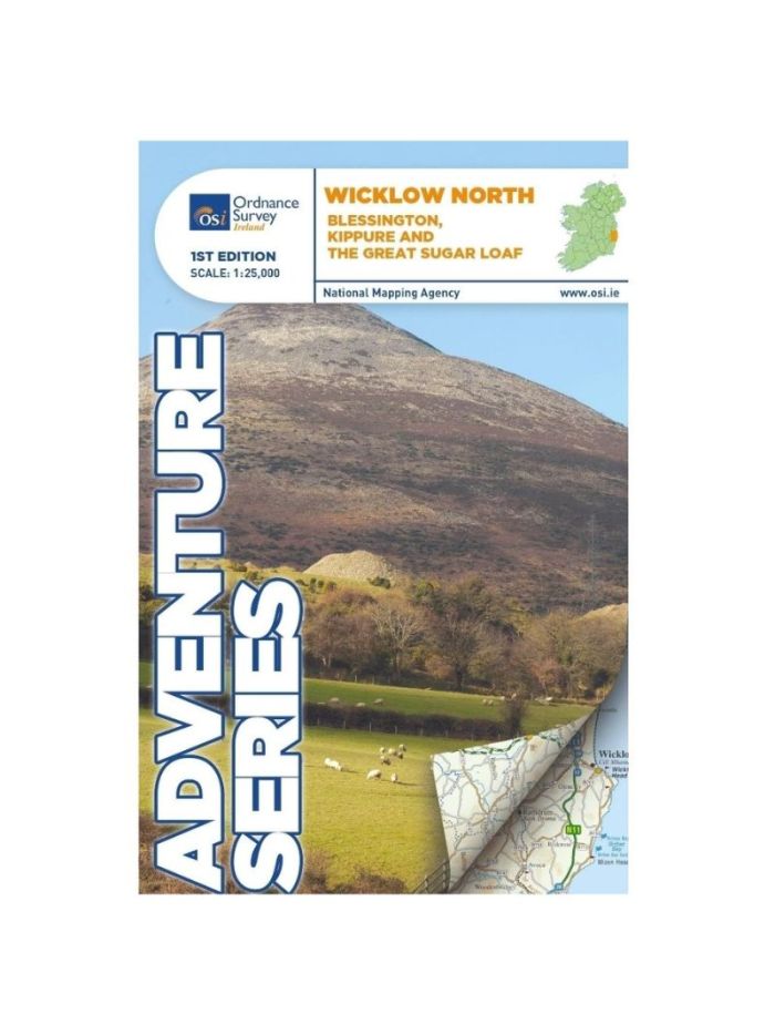
Wicklow North - Adventure Series OS Map
€12.99
SKU
039110
This map is situated in south County Dublin, a small portion of County Kildare and north County Wicklow.
A section of the southern end of the M50 is shown along with the M11/ N11. The N81 from Dublin to Blessington also features.
Wicklow North adventure map covers the key towns of Blessington and Bray. Among the villages shown are Enniskerry and Newtownmountkennedy and Ballyknockan.
Numerous mountains are shown including Mullaghcleevaun, Kippure, Djouce, Seefingan, Duff Hill, Gravale, Moanbane, War Hill, Carrigvore, Luggala or Fancy Mountain and the Great Sugar Loaf.
The River Liffey rises between Kippure and Tonduff and flows through the Pollaphuca Reservoir.The source of the Dargle River is between Tonduff North and War Hill. Other rivers shown are the Dodder River, the Vartry River, the Dargle River and the Glencree River. A feature of this map is the numerous brooks and among them are Slade Brook and Col Brook between Seefin Mountain and Kippure. Dealbog Brook, Boleyhemushboy Brook and Lugaculleen Brook are in the foothills of Mullaghcleevaun Mountain near Pollaphuca Reservoir.
Lough Bray Lower, Lough Bray Upper, Lough Tay, and the larger part of Pollaphuca reservoir and Glenasmole Reservoirs feature on the map. The Sally Gap features on this map along with part of Wicklow National Park.
The start of the Wicklow Way is shown on the map and also the start of Dublin Mountains Way.
Features of the area include a number of circular walks and routes and trails including Forest Loop,Hell Fire Wood, Massey’s Estate Nature Trail, Tibradden Trail, Tiknock Mountain Bike Trail, Barnasligan Trails, Lead Mines Way, Oak Glenn Loop Trail, Maulin Trail, Deerpark Trail, Kindlestown Trail, Ballinastoe Mountain Bike Trail, Slievethoul Lugg Loop and Saggart Hill Loop, and Blessington Greenway.
Write Your Own Review
Recently Viewed